
Showing posts with label maps. Show all posts
Showing posts with label maps. Show all posts
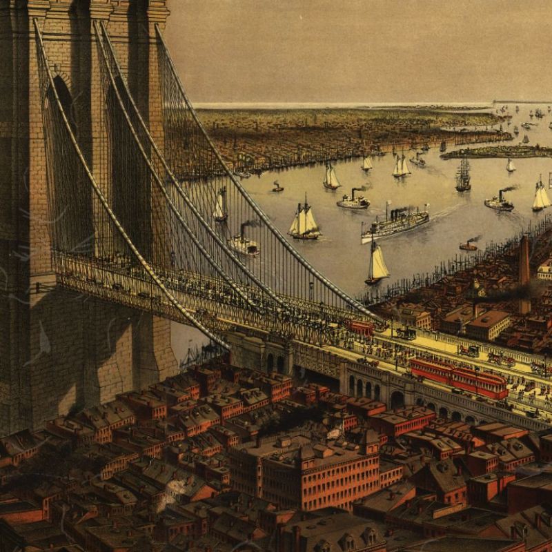
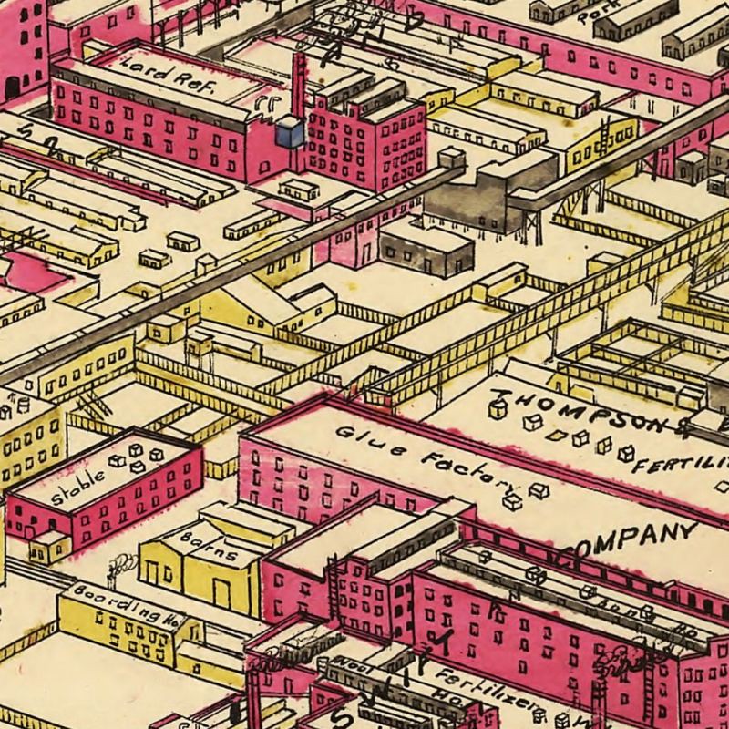


Geography: Old Map Detail
I just liked the look of this detail of a map of Regent's Park from 1859. Maps can be beautiful.
Found here via Things Magazine.


Subscribe to:
Posts (Atom)

